
Aerial Photography
Professional drone photography that captures stunning perspectives and showcases properties, landscapes, and events from dramatic aerial angles. FAA-certified and fully insured aerial photography services throughout Chicago delivering high-resolution imagery that adds dimension and visual impact ground-based photography cannot match.
About
Aerial photography opens creative possibilities that ground-based cameras simply cannot achieve—revealing property boundaries and context, showcasing landscape features and surrounding neighborhoods, capturing event scale and attendance, documenting construction progress from comprehensive perspectives, and creating dramatic establishing shots that elevate any visual presentation. Professional drone photography has transformed industries from real estate marketing to construction documentation, providing accessible aerial perspectives that were once prohibitively expensive.
I specialize in aerial photography that combines technical flying proficiency with artistic composition and strategic purpose. As an FAA Part 107 certified drone pilot with comprehensive liability insurance, I operate legally and safely while delivering the stunning aerial imagery that serves your specific needs. My approach goes beyond simply flying drones—I understand how aerial perspectives enhance marketing messages, which angles best showcase properties or events, optimal lighting conditions for aerial photography, and composition techniques that create compelling images from elevated viewpoints.
Whether you need aerial photography for real estate listings, construction documentation, event coverage, landscape photography, or promotional content, I provide drone services throughout Chicago and Chicagoland with meticulous attention to safety, regulatory compliance, and artistic excellence. Every aerial photography project begins with proper airspace authorization, location assessment, and strategic planning that ensures legal, safe operations while delivering the dramatic perspectives that make your visual content stand out.
Why Choose Us
What sets our aerial photography services apart across Chicago.
FAA Certified
& Fully Insured
Part 107 certified remote pilot with comprehensive liability insurance ensures legal compliance, professional standards, and protection for clients—distinguishing professional services from amateur hobbyist drone operators.
Artistic
Composition
Beyond technical flying ability, creative composition skills that frame aerial shots for maximum visual impact, balance foreground and background elements, and create compelling perspectives rather than simply capturing overhead views.
Regulatory
Compliance Expertise
Deep knowledge of FAA regulations, Chicago airspace restrictions, and authorization requirements ensures all flights operate legally with proper clearances—handling complex regulatory navigation so you don't have to.
Professional-Grade
Equipment
High-resolution drone cameras capturing 20+ megapixel images suitable for large prints, billboards, and professional marketing applications—delivering image quality that amateur consumer drones cannot match.
Weather &
Timing Optimization
Strategic scheduling during optimal weather conditions and lighting times—typically early morning or late afternoon golden hours—ensures the most beautiful, dramatic aerial photography possible.
Quick
Turnaround Delivery
Edited aerial photography typically delivers within 24-48 hours, enabling rapid deployment for real estate listings, construction reports, event recaps, and any time-sensitive marketing needs.
What You Get
01
Airspace Research & Authorization
02
Location Assessment
03
Professional Aerial Capture
04
Optimal Lighting Timing
05
Professional Post-Processing
06
High-Resolution Delivery
How It Works
Our aerial photography process ensures safe, legal, beautiful results from planning through final delivery.
1
Project Consultation
2
Airspace & Regulatory Review
3
Pre-Flight Planning
4
Professional Aerial Shoot
5
Professional Editing
6
Fast Digital Delivery
Frequently Asked Questions
How much does aerial photography cost?
Aerial photography pricing typically ranges from $200-$600 depending on location, complexity, and deliverable requirements. Basic residential property aerial shoots start around $200-$300, while comprehensive aerial photography for large properties, construction sites, or events ranges from $400-$600. Travel fees may apply for locations outside standard service areas.
Are you FAA certified and insured?
Yes! I hold an FAA Part 107 Remote Pilot Certificate and carry comprehensive liability insurance for all drone operations. This ensures legal compliance, professional standards, and protection for clients—distinguishing professional services from amateur hobbyist operators.
Can you fly drones anywhere in Chicago?
No, Chicago has significant airspace restrictions due to airports, helipads, and controlled airspace. I thoroughly research every location, identify restrictions, and obtain necessary FAA authorizations (LAANC or manual waivers) when required. Professional drone services include navigating these regulatory complexities.
What weather conditions affect drone flights?
Drone operations require wind speeds under 25mph, no precipitation, adequate visibility, and temperatures within equipment operating ranges. I monitor weather forecasts closely and will reschedule if conditions are unsafe—prioritizing safety over schedule.
Trusted by Chicago's Best
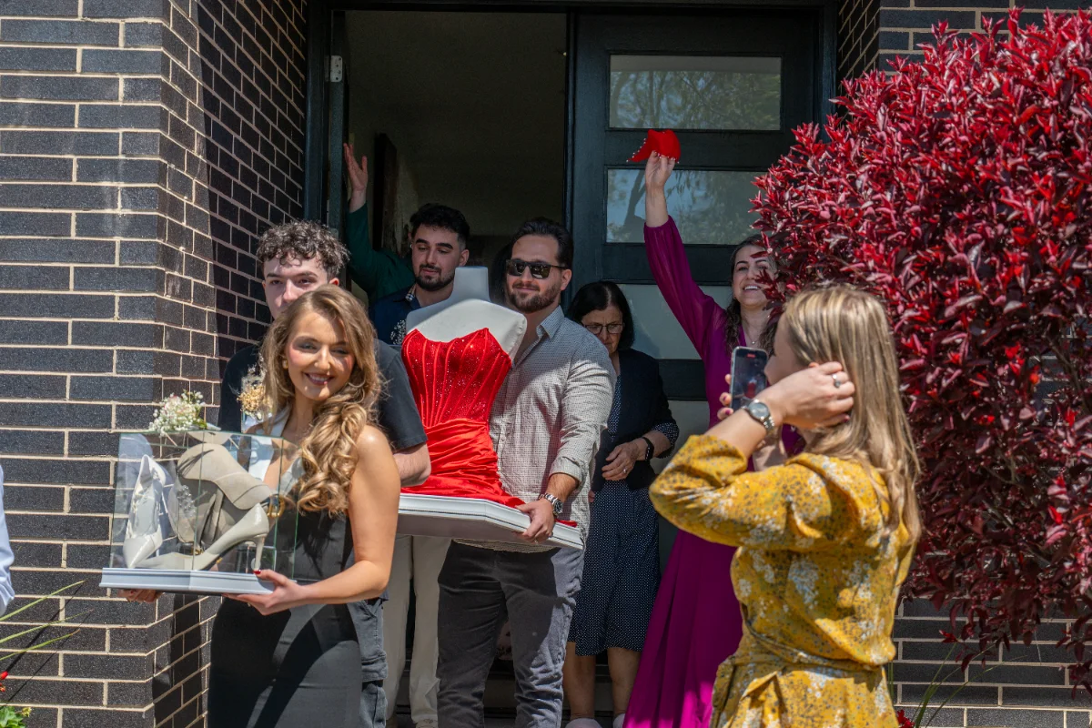
I’ve provided aerial photography for real estate professionals, construction companies, event organizers, and businesses throughout Chicago and Chicagoland. Every aerial photography project I complete adds dramatic visual impact, reveals context and scale, and creates stunning imagery that elevates marketing presentations and stands out in competitive markets.
“The aerial photography Emiliano captured for our luxury waterfront listing was absolutely stunning. The elevated perspectives showcased the property, lake views, and surrounding neighborhood in ways ground photography never could. We received multiple offers within two weeks!”
Amanda Rodriguez
“Emiliano provides quarterly aerial documentation for our large construction projects. His professional approach handles all regulatory requirements seamlessly, and the aerial imagery provides invaluable progress tracking for stakeholders. Reliable, professional service every time.”
Tom Williams, Construction Manager
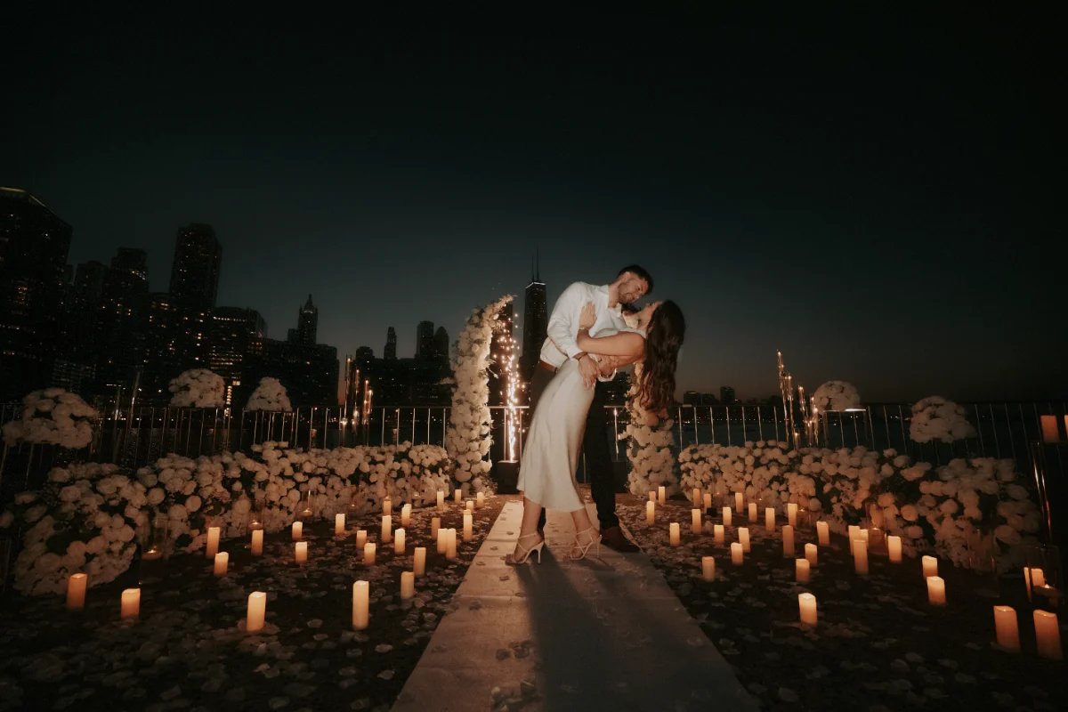
“We hired Emiliano for aerial photography at our outdoor corporate event. The dramatic overhead shots captured the scale and energy in ways ground-based photography couldn’t. These images became our best marketing assets for next year’s event promotion. Highly recommend!”
Jennifer Martinez, Event Director
join the success
Ready to Get Started?
Let’s capture stunning aerial photography that showcases your Chicago property, project, or event from dramatic elevated perspectives.